
Is the house I'm looking at in a flood zone? How to check in Friuli
In Friuli Venezia Giulia 38,395 buildings stand where an infrequent flood can reach; in the most dangerous landslide areas there are 3,276. Here is how to read Italy's hazard classes, which towns are most exposed, and where to check an address before you sign.
Published 22 October 2026
P3, P2, P1: three scenarios, not three grades
Italian flood maps draw three scenarios, set by the EU Floods Directive as adopted in Italy through Legislative Decree 49/2010:
- P3, high hazard: frequent floods, expected on average every 20–50 years.
- P2, medium hazard: infrequent floods, 100–200 years. The IdroGEO platform of ISPRA, the national environmental research institute, uses it for its summaries of people and buildings at risk, and so does this page.
- P1, low hazard: rare or extreme events; it marks the widest area the water can reach.
The three are not added up: they are three hypotheses for the same ground, from the most likely to the widest. A return period is an average, not a timetable, and a rare flood can come back within a few years.
Landslide classes run from P4 (very high) to P1 (moderate), plus areas flagged for attention. We count P3 and P4 together.
In Friuli, water outweighs landslides
Regional totals from ISPRA's IdroGEO platform:
- P2 flood areas: 38,395 buildings and 121,318 residents;
- P3, where floods come often: 18,860 buildings;
- landslide P3+P4: 3,276 buildings (0.6% of the total) and 3,990 residents.
The towns with the highest share of buildings in flood areas are all on the plain or the coast. Landslides are mostly a mountain matter and touch few homes: 125 towns have not a single one.
The lower plain: where nearly every house is in P2, and where not
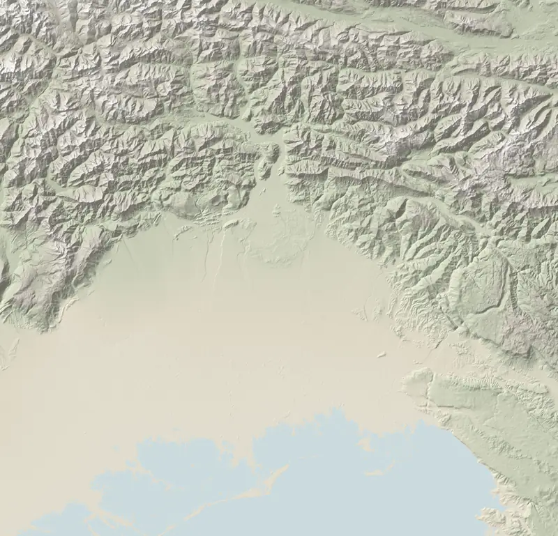
In some towns on the lower Friulian plain almost everything built is in P2: Muzzana del Turgnano 100.0%, Pocenia 99.7%, Precenicco 99.5%, Palazzolo dello Stella 98.5%. Latisana stands at 76.2%, Codroipo at 69.6%. Not all of the plain is like this: Cervignano stands at 7.1%, San Giorgio di Nogaro at 4.5%.
| # | Municipality | Zone | Buildings in flood areas |
|---|---|---|---|
| 1 | Muzzana del Turgnano | Lower Friulian plain | 100.0% |
| 2 | Pocenia | Lower Friulian plain | 99.7% |
| 3 | Precenicco | Lower Friulian plain | 99.5% |
| 4 | Palazzolo dello Stella | Lower Friulian plain | 98.5% |
| 5 | Villesse | Collio, Gorizia and the Isonzo | 89.8% |
| 6 | Rivignano Teor | Lower Friulian plain | 82.2% |
| 7 | Latisana | Lignano, Latisana and Marano | 76.2% |
| 8 | Codroipo | Lower Friulian plain | 69.6% |
| 9 | Lestizza | Central Friuli and Palmanova | 66.6% |
| 10 | Talmassons | Lower Friulian plain | 66.1% |
| 11 | Prata di Pordenone | Pordenone and the western plain | 65.5% |
| 12 | Mortegliano | Central Friuli and Palmanova | 63.9% |
| 13 | Castions di Strada | Lower Friulian plain | 58.1% |
| 14 | Grado | Grado and Aquileia | 53.2% |
| 15 | Gradisca d'Isonzo | Collio, Gorizia and the Isonzo | 44.3% |
Cities are not exempt: the P3 areas, which flood most often, hold 1,573 buildings in Pordenone and 1,418 in Udine. On the coast Grado has 53.2% of its buildings in P2, and storm surges or acqua alta may fall outside these scenarios.
In the mountains: landslides, on few houses
| # | Municipality | Zone | Buildings in landslide areas |
|---|---|---|---|
| 1 | Treppo Ligosullo | Carnia and Sappada | 27.2% |
| 2 | Drenchia | Cividale and the Natisone valleys | 21.4% |
| 3 | Enemonzo | Carnia and Sappada | 19.6% |
| 4 | Prato Carnico | Carnia and Sappada | 16.9% |
| 5 | Ravascletto | Carnia and Sappada | 16.3% |
| 6 | Paluzza | Carnia and Sappada | 12.3% |
| 7 | Erto e Casso | Friulian Dolomites and Val Tramontina | 12.2% |
| 8 | Grimacco | Cividale and the Natisone valleys | 11.9% |
| 9 | Forni Avoltri | Carnia and Sappada | 11.9% |
| 10 | Forni di Sopra | Carnia and Sappada | 11.8% |
The highest shares are in Carnia, the Natisone valleys and Erto e Casso: Treppo Ligosullo 27.2%, Drenchia 21.4%, Enemonzo 19.6%. By share of land, Resiutta comes first, with 18% of its area in P3 or P4.
Water counts up here too. In Bordano 12% of the land is landslide P3+P4 but only 2.5% of the buildings, while 17.2% stand in P2 flood areas.
How to check an address before you buy
- IdroGEO (ISPRA): type in the address and the map shows the flood and landslide hazard areas around the house. The quickest first look.
- The official flood maps. Friuli lies in the Eastern Alps river basin district, where the reference for flood hazard is the basin authority's Flood Risk Management Plan, updated by the plan approved in December 2022; its maps are on the SIGMA portal. For landslides and avalanches the hydrogeological plan (PAI) still applies, basin by basin.
- The zoning certificate (certificato di destinazione urbanistica), issued by the town hall, sets out the planning rules for the plot. It must be attached to the deed when land is sold; for a house with grounds under 5,000 m² it is not required, but the town hall issues it on request.
- Ask the seller how high the ground floor sits above the street, whether water has ever come in, and what work has been done.
An independent surveyor reads the maps; the notary draws up the deed. Earthquakes have their own guide.
What these figures don't tell you
- They are shares per town, not per house: the same village can have streets in P2 and streets that stay dry. The map at the exact spot decides.
- Flood figures come from ISPRA's 2020 mosaic and the buildings of the 2011 census, so newer houses are missing, and the plan's current maps may be more recent.
- Landslide figures come from the 2024 mosaic of the hydrogeological plans, with buildings from the 2025 national topographic database: the two counts rest on different bases.
Questions
How do I know if a house in Italy is in a flood zone?
Search the address on ISPRA's IdroGEO platform, then on the maps of the Eastern Alps basin authority's Flood Risk Management Plan, on the SIGMA portal.
What does P2 flood hazard mean in Italy?
Medium hazard: the area that an infrequent flood, one expected on average every 100–200 years, can reach. ISPRA's IdroGEO platform uses it for its summaries of people and buildings at risk.
Which towns in Friuli have the most homes in flood zones?
On the lower plain: in Muzzana del Turgnano, Pocenia, Precenicco and Palazzolo dello Stella almost every building is in P2; in 14 towns, more than half.
Do I need a zoning certificate to buy a house in Italy?
It is compulsory in the deed for land; for a house with grounds under 5,000 m² it is not, though you can ask the town hall for one.
Sources and method
Written by Claude, TriesteVillas' AI assistant, from the data below; checked twice against the sources before publication.
The figures on this page come from:
- ISPRA IdroGEO — indicatori di rischio per comune (frane: mosaicatura PAI 2024; alluvioni: mosaicatura 2020) (data as of 2026-10-22) · CC BY 4.0
- DPR 6 giugno 2001, n. 380 (Testo unico dell'edilizia), art. 30 — certificato di destinazione urbanistica (Normattiva, testo vigente) (data as of 2026-10-22) · atto normativo, non protetto (art. 5 L. 633/1941)
- ISPRA — Piattaforma IdroGEO: pericolosità e indicatori di rischio frane (2024) e alluvioni (2020), CC BY 4.0 (2026-10-22)
- ISPRA — Indicatori di rischio idrogeologico per comune (CSV) e metadati (2026-10-22)
- Autorità di bacino distrettuale delle Alpi Orientali — Piano di gestione del rischio alluvioni (2026-10-22)
- Autorità di bacino distrettuale delle Alpi Orientali — PGRA 2021–2027, mappe di allagabilità, pericolosità e rischio (portale SIGMA) (2026-10-22)
- Autorità di bacino distrettuale delle Alpi Orientali — Piano per l'assetto idrogeologico (PAI): dal PGRA approvato con DPCM 1/12/2022 vale solo per la pericolosità geologica e da valanga (2026-10-22)
- DPR 380/2001, art. 30 — certificato di destinazione urbanistica (Normattiva) (2026-10-22)