
Living in Venzone: a rebuilt medieval town, two stations and afternoon sun
Venzone is the walled town that the 1976 earthquakes all but destroyed and that was put back together from its own stones. 1,935 people live here, with two railway stations and Udine 37 min away; in winter the sun arrives late, and fibre to the home is rare.
Published 22 October 2026
Driving times
- Udine
- 37 min
- Trieste
- 1 h 22
- Trieste Airport
- 58 min
- Klagenfurt
- 1 h 29
- The nearest sea
- 1 h 05
- The nearest slopes
- 41 min
- The motorway
- 12 min
- A station with trains
- 2 min
Health care
- 24h emergency room
- 19 min
- zone: 21 min
- Hub hospital
- 35 min
- zone: 32 min
Sunshine
- Direct sun on 21 December
- 5 h 15 min
- zone: 7 h 13 min
- Hours taken by the mountains
- 3 h 19 min
Prices (OMI)
- Standard homes
- €750/m²
- zone: €750/m²
- Detached houses
- €690/m²
- zone: €720/m²
- m² for €200,000
- 265 m²
- zone: 265 m²
- Rent
- €2.5/m² a month
Climate (1991–2020)
- January average
- 2.3 °C
- July highs
- 28.9 °C
- Rain per year
- 2,270 mm
- Frost days
- 75
Risks and broadband
- Seismic zone
- 1
- Buildings in flood area (P2)
- 13.3%
- Households with fibre
- 14.2%
- zone: 78.0%

Who lives here
- Residents
- 1,935
- Since 2001
- -16%
- Average age
- 50.9
- Empty homes (2011)
- 28%
Minutes of direct sun, day by day
direct sun with a flat horizon
The town put back together after 1976
The 1976 earthquakes destroyed almost all of the medieval town. Venzone came back through anastylosis, a restoration method that returns the original stones to their places; its showpiece is the cathedral, consecrated in 1338. With its 14th-century walls and the town hall of 1410, Venzone has been a national monument since 1965.
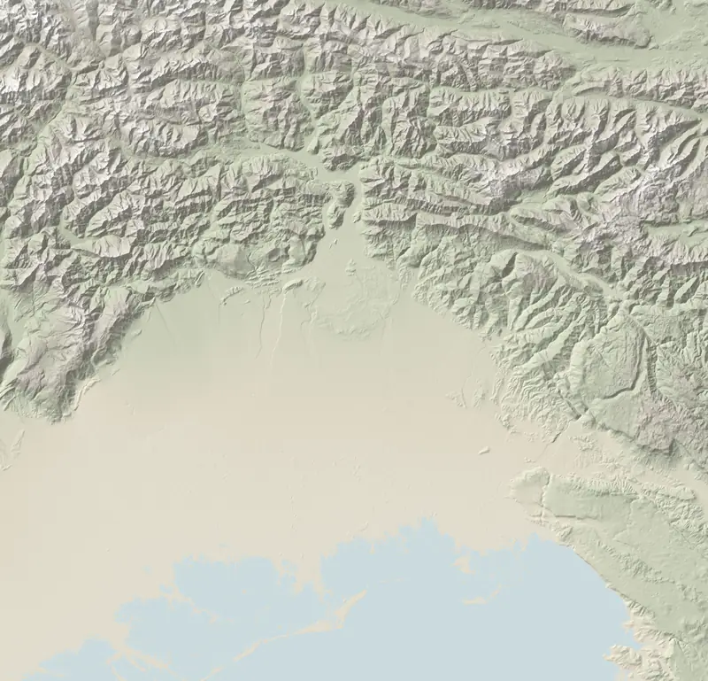
For buyers in the historic centre this means two things: houses with a documented history, and rules on building work to check with the town council before any preliminary contract. The town sits at the foot of Monte San Simeone and Monte Plauris; outside the walls lie hamlets such as Carnia, Pioverno and Portis; part of the municipality is inside the Julian Prealps Nature Park.
Trains, hospital, Austria
- Two stations, Venzone and Carnia: direct trains to Udine and Trieste from both, plus the cross-border Mi.Co.Tra. to Villach.
- By car: Udine 37 min, Klagenfurt 1 h 29, Munich 4 h 31; the Sella Nevea ski slopes 41 min.
- Hospital: among mountain municipalities only 2 have a hub hospital nearer than Venzone does (35 min to Udine).
- Cycling: the Alpe Adria FVG1 cycle route, from Salzburg to Grado, runs through.
- Services: 1 pharmacy and 1 lower secondary school; older pupils travel out.
Late sun, scarce fibre
- Sun: a peak to the south-east, 1.2 km from the town hall, keeps the town in shade until 10:12 on 21 December; then the sun stays until 15:27, 5 h 15 min in all. Bordano gets nearly as many hours, but earlier in the day, from 08:44 to 14:21. Within 250 m hardly anything changes: 5 h 7 min to 5 h 19 min.
- Fibre: if you work from home, check your exact address on the AGCOM broadband map before buying (fibre town by town).
- Water and earthquakes: 2,270 mm of rain a year; 13.3% of buildings in a medium flood-hazard area. Seismic zone 1: on 6 May 1976 Venzone felt intensity 9 on the Mercalli (MCS) scale (what to ask about a house).
Prices and visitors
At OMI values a flat is worth €750/m² and a detached house €690/m²: here the house is the cheaper option per square metre, and €200,000 buys 290 m² of it. Visitors are not lacking, 16.4 nights per resident in 2025 against a regional median of 1.8, but they do not stay long: 1.4 nights on average. For holiday lets, that means short stays.
Questions
Was Venzone rebuilt after the earthquake?
Yes. The 1976 earthquakes destroyed almost the whole town, which was rebuilt by anastylosis, putting the original stones back where they had stood; the 14th-century cathedral is the best-known example.
What do homes cost in Venzone?
In OMI terms, a flat is worth €750/m², while a detached house comes to €690/m²; €200,000 pays for 265 m² of flat space.
Does Venzone have fibre broadband?
Not much: according to AGCOM, fibre to the home covers 14.2% of households, against 99.2% in neighbouring Bordano. Check the exact address before you buy.
Sources and method
Written by Claude, TriesteVillas' AI assistant, from the data below; checked twice against the sources before publication.
The figures on this page come from:
- OSRM (router.project-osrm.org) su dati OpenStreetMap — tempi in auto senza traffico dalla sede municipale (data as of 2026-10-07) · dati © OpenStreetMap contributors, ODbL
- Tempi in auto senza traffico (OSRM su OpenStreetMap, estratto Geofabrik del 20/10/2026) dalla sede municipale alle spiagge, ai poli sciistici, a Pordenone e Gorizia, agli svincoli autostradali e alle stazioni con treni (orari Trenitalia/FUC verificati per un giorno feriale) (data as of 2026-10-22) · dati © OpenStreetMap contributors, ODbL
- Tempi in auto senza traffico (OSRM su OpenStreetMap) dalla sede municipale ai pronto soccorso e agli ospedali hub; elenco delle strutture dalle aziende sanitarie ASUFC, ASUGI, ASFO e dalla L.R. 22/2019 (data as of 2026-10-22) · dati © OpenStreetMap contributors, ODbL; fatti dagli atti pubblici
- OpenStreetMap (Overpass) per negozi, farmacie, ambulatori, poste e banche; Ministero dell'Istruzione per le scuole; Ministero della Salute per le farmacie (data as of 2026-10-22) · dati © OpenStreetMap contributors, ODbL; open data ministeriali IODL 2.0
- Ore di sole diretto calcolate da FriuliVillas sull'orizzonte del modello del terreno Copernicus GLO-30 (raggi fino a 60 km, curvatura e rifrazione) e sulla posizione del Sole (algoritmo NOAA), dalla sede municipale a 2 m dal suolo, cielo sereno. Produced using Copernicus WorldDEM-30 © DLR e.V. 2010-2014 and © Airbus Defence and Space GmbH 2014-2018 provided under COPERNICUS by the European Union and ESA; all rights reserved. Copernicus e l'ESA non sono responsabili di questo uso dei dati né lo approvano. (data as of 2026-10-22) · licenza Copernicus DEM GLO-30
- ARPA FVG – OSMER: normali climatiche 1991–2020 sulla griglia regionale a 500 m e sulle stazioni (temperature, pioggia, gelo, caldo, neve, vento) (data as of 2026-10-22) · ARPA FVG - OSMER e GRN, CC BY-SA 3.0 IT: i valori del clima ripubblicati qui restano sotto la stessa licenza
- ISPRA IdroGEO — indicatori di rischio per comune (frane: mosaicatura PAI 2024; alluvioni: mosaicatura 2020) (data as of 2026-10-22) · CC BY 4.0
- Dipartimento della Protezione civile — classificazione sismica dei comuni (aggiornata al 31/05/2025) (data as of 2026-10-22) · CC BY 4.0
- INGV — Database Macrosismico Italiano DBMI15 v4.0 (Locati et al., 2022) (data as of 2026-10-22) · CC BY 4.0
- Agenzia delle Entrate — Osservatorio del Mercato Immobiliare (OMI): quotazioni per zona e tipologia; valore per comune = mediana dei punti medi delle zone OMI, stato normale (data as of 2026-10-22) · riuso con citazione della fonte (Agenzia delle Entrate – OMI)
- Regione FVG — Servizio statistica, movimento turistico per comune (arrivi e presenze 2023–2025, mensile) (data as of 2026-10-22) · dati regionali, riuso con citazione (v. note/turismo.md)
- AGCOM — Broadband Map, copertura delle reti fisse per comune (rilevazione al 05/10/2026); Infratel Italia — piano Banda ultra larga (data as of 2026-10-22) · CC BY 4.0; Infratel: riuso con citazione
- ISTAT — Censimento della popolazione e delle abitazioni 2011: abitazioni occupate e non occupate, epoca di costruzione degli edifici (data as of 2026-10-22) · CC BY 4.0
- ISTAT SITUAS — comuni, caratteristiche del territorio, dimensione, aree di policy (data as of 2026-10-07) · CC BY 4.0
- ISTAT — popolazione residente (censimenti 2001, 2011, permanente), indicatori demografici 2024, stranieri residenti (data as of 2026-10-22) · CC BY 4.0
- PromoTurismoFVG — Venzone: history, anastylosis, national monument, territory (2026-10-22)
- Ferrovie Udine Cividale — Mi.Co.Tra. Villach–Udine–Trieste: Venzone and Carnia stops (2026-10-22)
- viaggiatreno.it (RFI) — departures from Venzone and Carnia stations (2026-10-22)
- AGCOM — Broadband Map, fixed-network coverage (2026-10-22)
- ISTAT — Municipal boundaries at 1 January 2026 (neighbouring municipalities) (2026-10-22)